
What new roads might be coming to your area? The Master Street Map (MSM) is a tool used to identify future new roads that need to be built as development occurs.
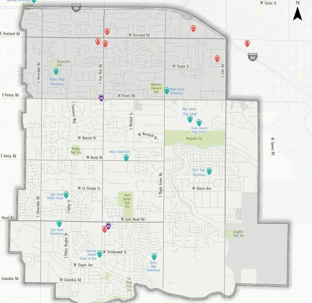
Find your neighborhood’s pedestrian and bicycle plan.
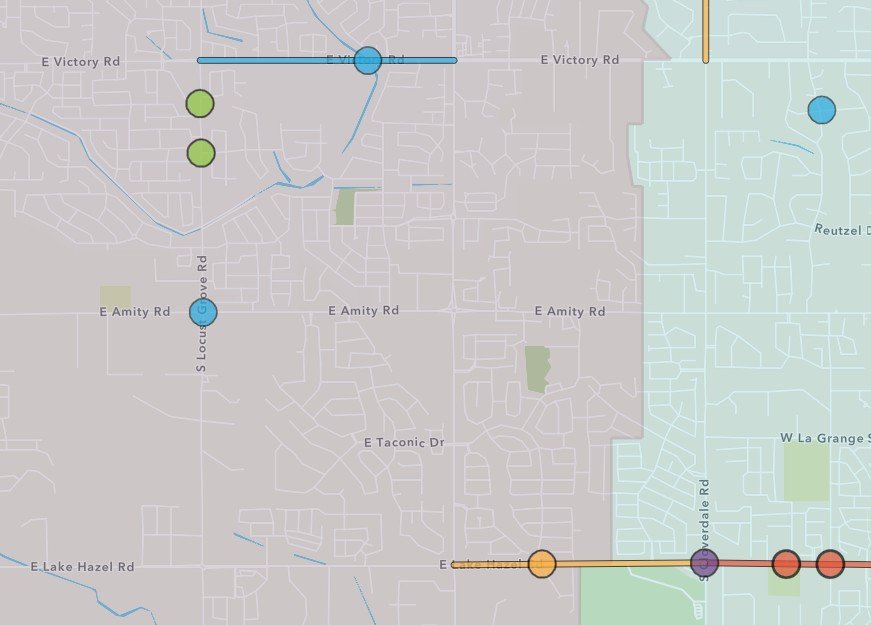
View the ACHD’s Five Year road work plan. The most current version runs 2026-2030, but it is updated every year. ACHD is in the process of updating a new 2027-2031 Five Year Plan that will be adopted in September. The future plan is open for comment now.
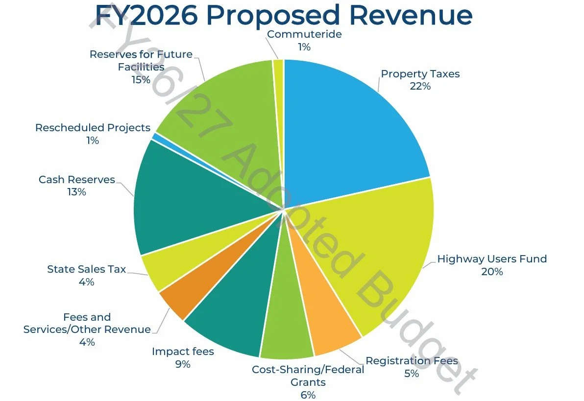
View ACHD’s most recent budget. Here you will find details on revenue and expenses.
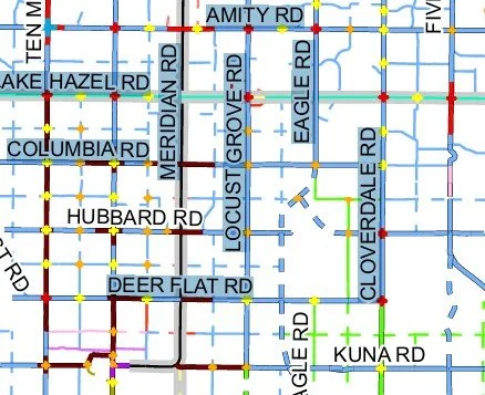
Find information on crashes in your area based on location at the Local Highway Technical Assistance Council (LHTAC) Interactive Crash Map.

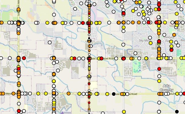
Traffic count information can be found here. ACHD counts traffic on a 24 hour, and AM/PM peak hour time frame. Peak hours are 7-9 am and 4-6 pm.